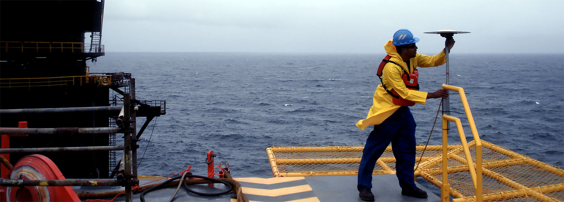
Geophysical & Survey
Positioning, Navigation, Survey and Geosciences
Capital Signal’s Geosciences division provides critical, time-sensitive technical services to multi-billion dollar petroleum exploration and drilling operations, harbour projects, dredging, and other marine construction projects on a world-class level.
Our team is equipped with the latest, state-of-the-art gear to meet all survey, geotechnical, navigational and design support needs quickly, safely and cost effectively.
With more than nineteen years in the Geosciences field and working for a wide range of local and international customers, our track record is in excess of 100 successful projects.
Our Services Include:
-
-
- Rig Positioning and Navigation.
- DGPS/RTK Surveys.
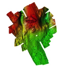
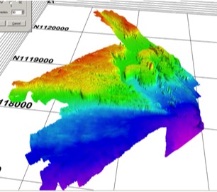
- Bathymetric Surveys – Multi-beam and Single Beam.
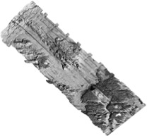
- Geophysical Surveys.
- Desktop Studies.
- Pipeline Route Surveys.
- 2D High Resolution Surveys.
- 2D/3D Seismic Data Reprocessing .
- Topographic Survey.
- ROV Inspection Class / Light Work Class.
- Pre-lay / Post Lay / As-built Surveys.
- Pipeline Cleaning.
- MODU Stability and Leg Pen Analyses.
- Met Ocean and Environmental Surveys.
-
ROV Services
Through our alliance with Submersible Systems Inc, we provide light to heavy working class ROV systems locally as well as internationally.
2D & 3D Processing, Reprocessing and Reporting Services.
To complement our geophysical survey data acquisition we have formed a joint venture with Geotrace Limited which allows us to perform onboard 2D HR Seismic Data processing on a real-time basis during field acquisition.
This partnership brings with it all of Geotrace’s experience in 3D reprocessing and is now one of the services we offer.
